indicators
Indigenous Knowledge Indicators for Malaria Outbreaks in Vhembe
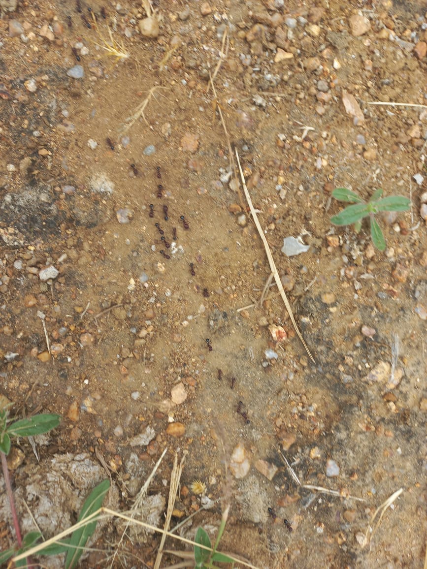
Ants gathering food
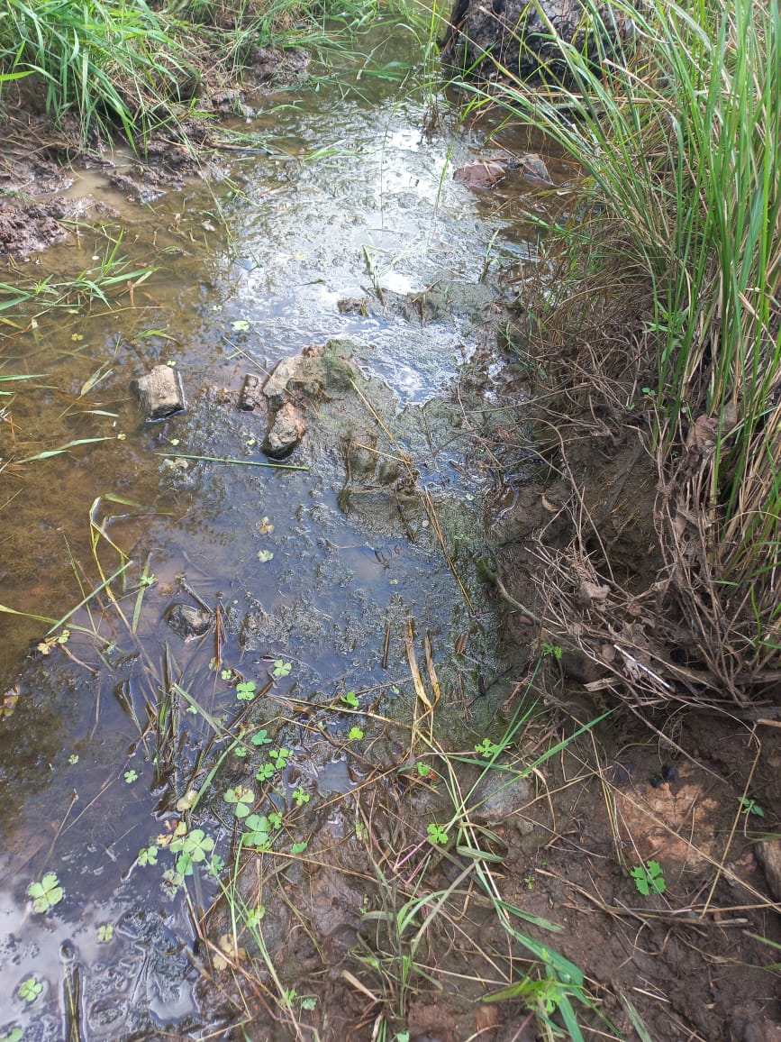
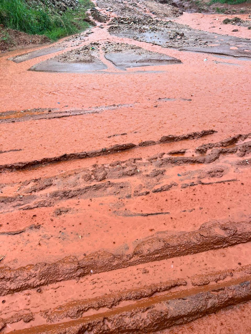
Dirty water in small pools
Dirty water in small pools
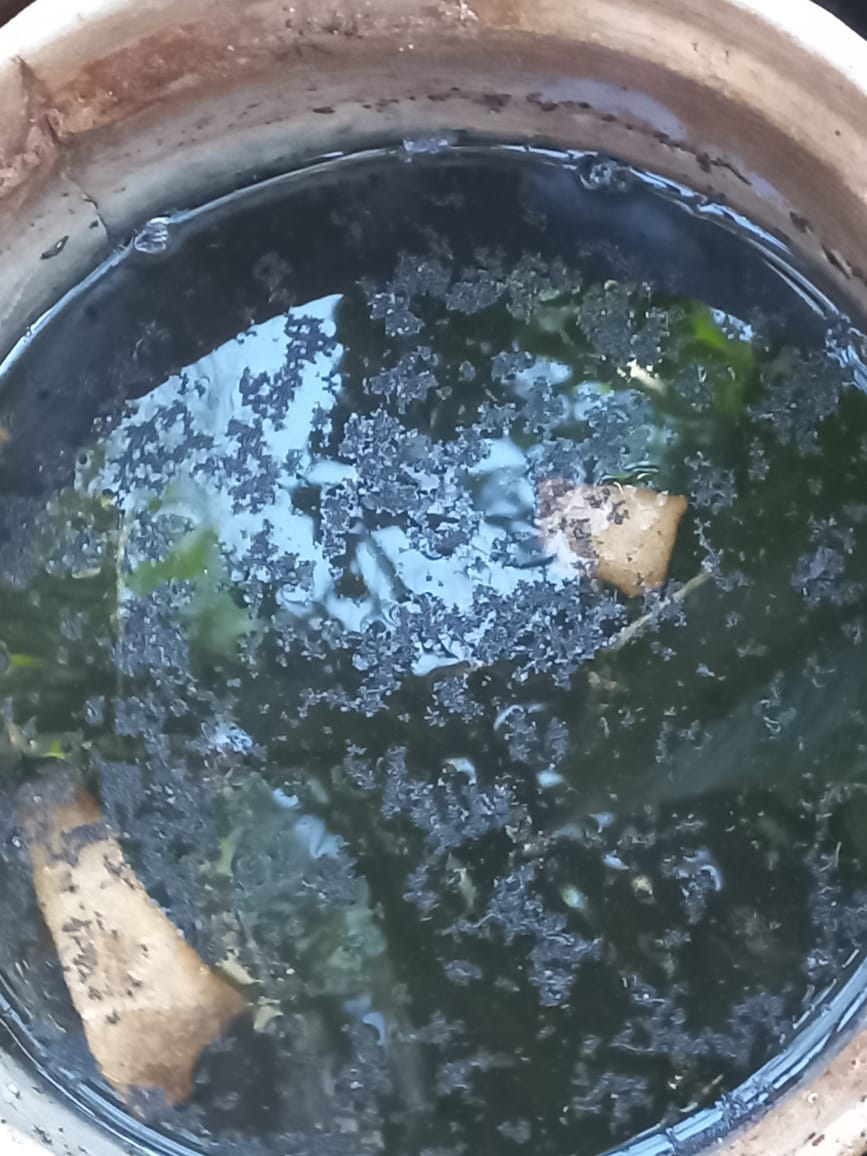
Dirty water in small tins
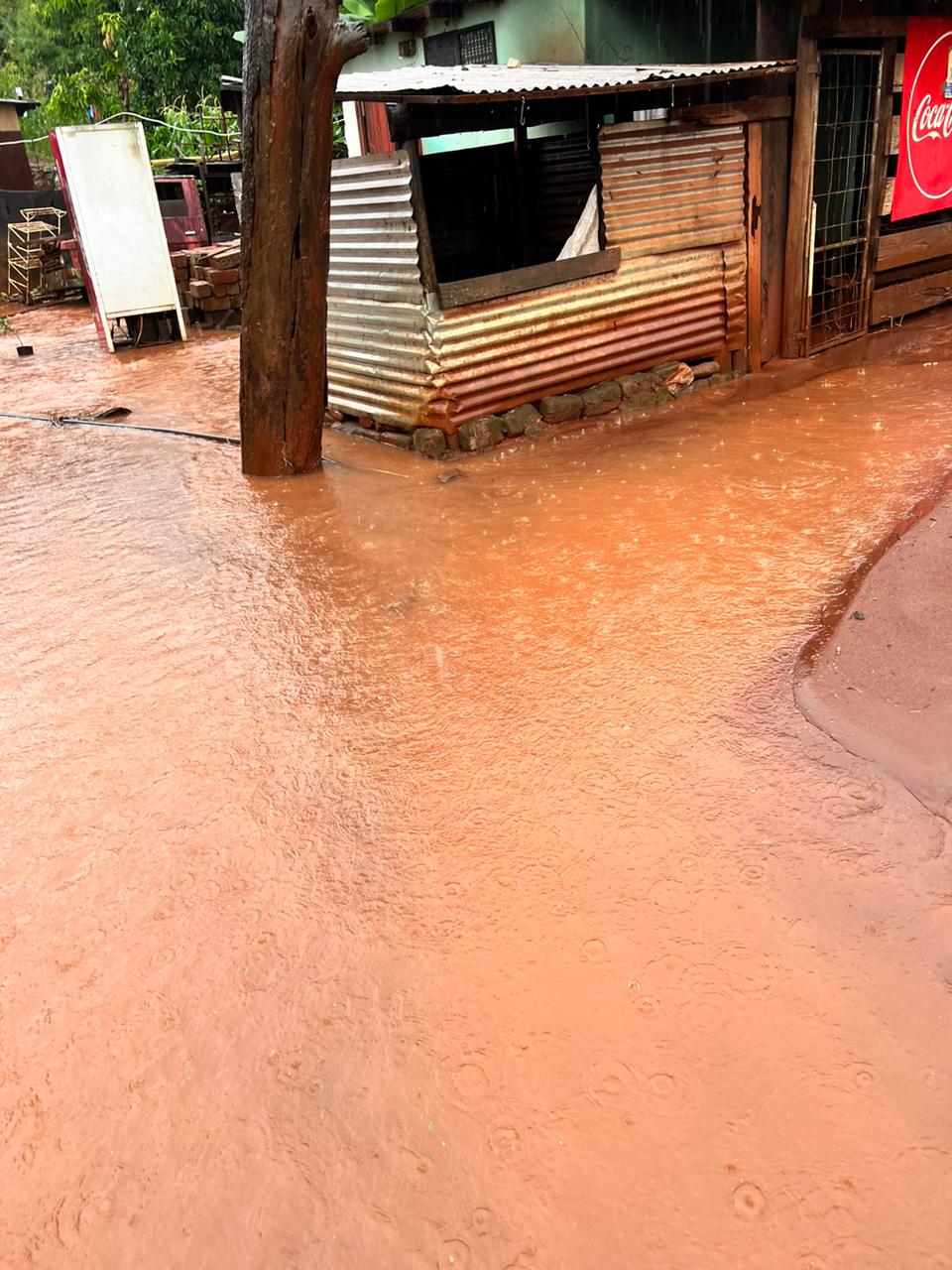
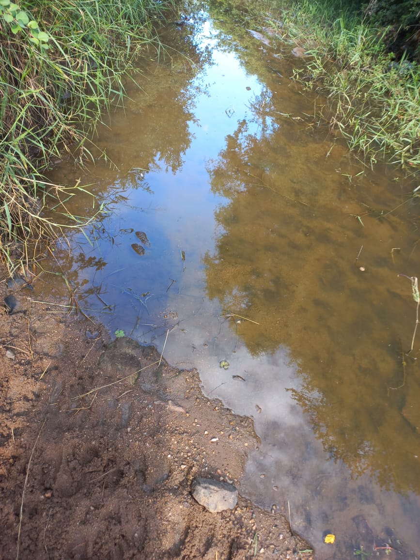
Floods
Floods
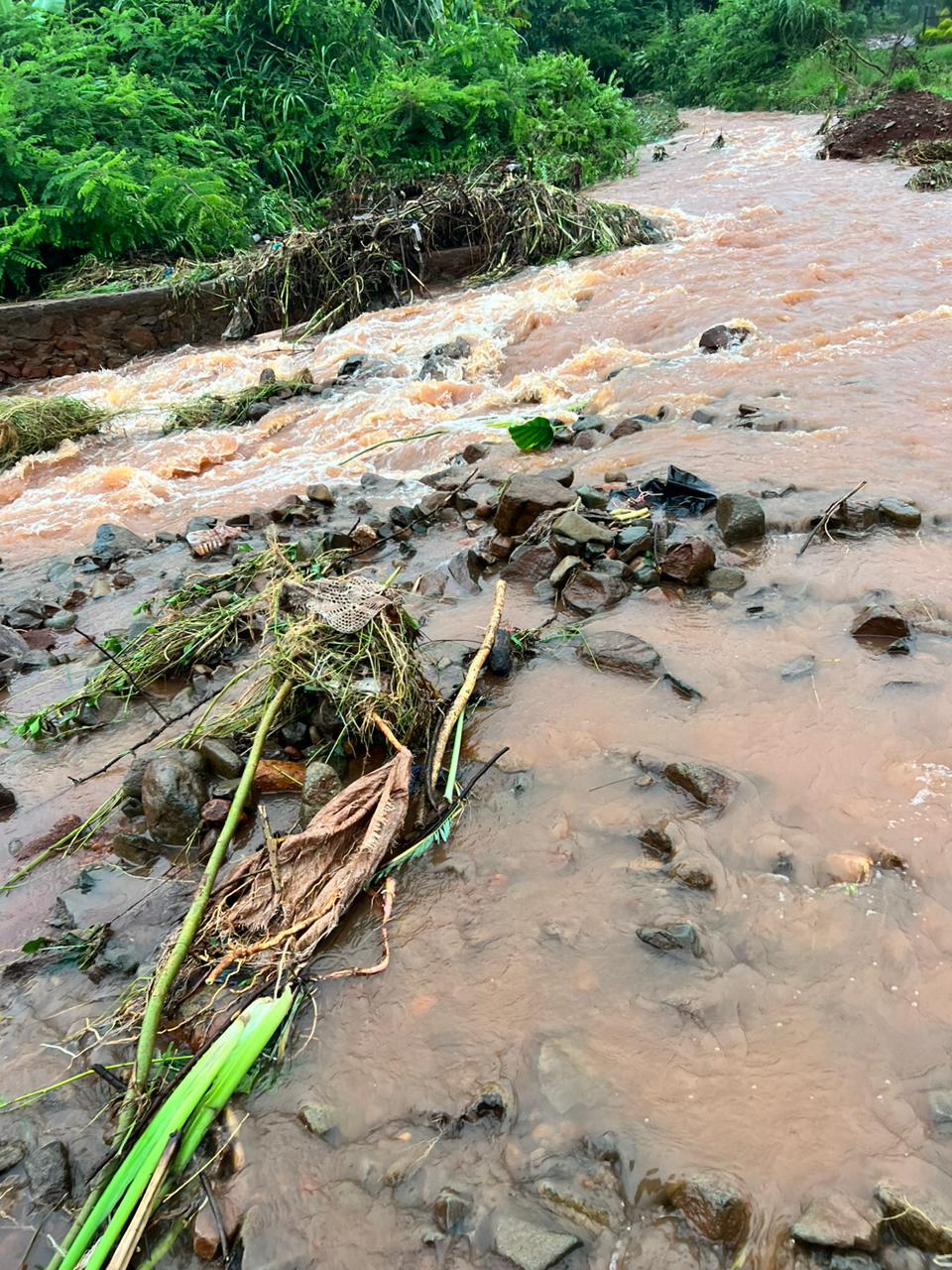
Flooded streams
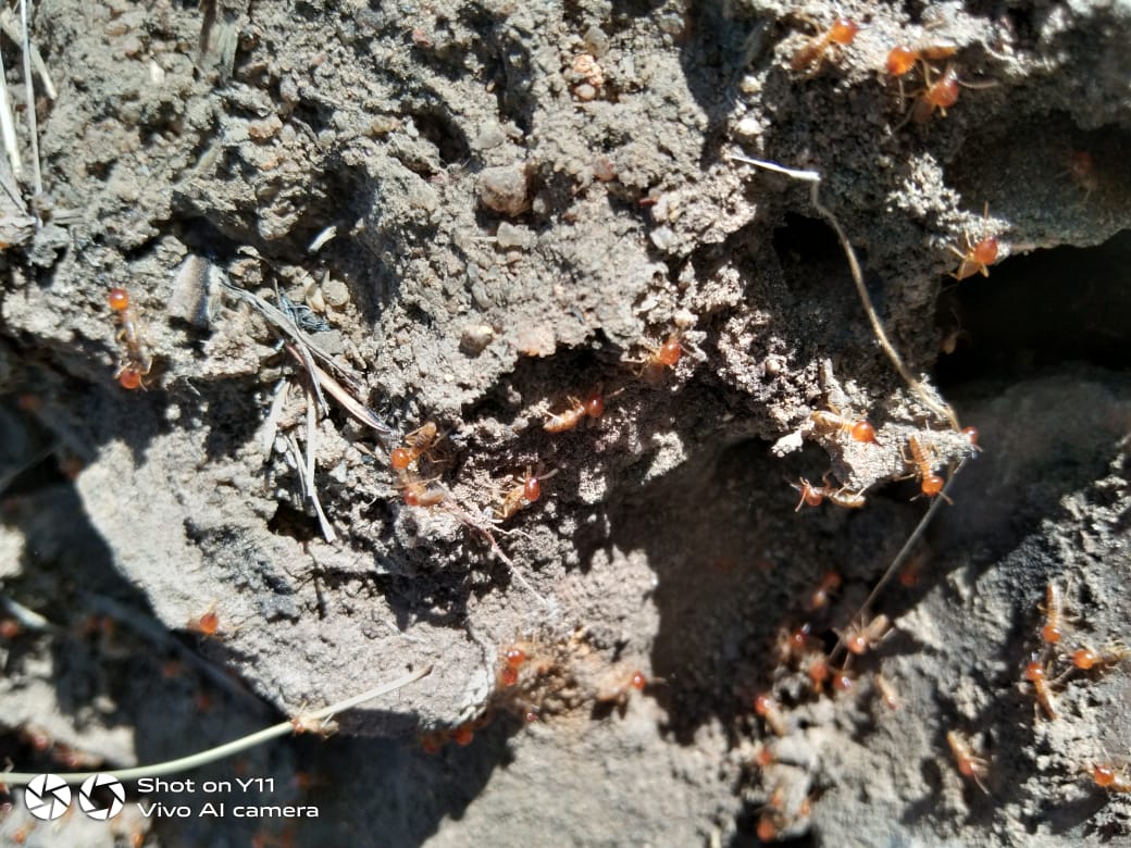
Ants gathering food
study area
Vhembe District, limpopo, south africa
This research study was conducted in Vhembe which is one of the five districts in the Limpopo province of South Africa. It shares north-west borders with Botswana and Zimbabwe, and south-east borders with Mozambique. It covers a total area of 25 596km² with a population of 1.39 million. Kabanda describes Vhembe climate as subtropical divided into wet and dry seasons (Nenwiini et al., 2017). The wet seasons are wet and warm. while the dry seasons are mild, and moist (Musetha, 2016). In wet seasons, the temperature ranges from 16 - 40°C whereas in dry seasons temperatures range from 12 - 22°C. with an annual mean rainfall of about 500mm, Vhembe receives more rainfall compared to other districts in Limpopo. Rainfall is experienced mostly between October and March with the peak in January and February. Floods usually occur from time to time during the rainy season (Kifle at el., 2019 Kabanda). An abundance amount of rainfall received in Vhembe and the temperature ranges can create a conducive condition for mosquito s' growth, ability to bite, and duration of survival (Agusto, Gumel and Parham, 2015; Kifle et al., 2019; Masinde, 2020). Agriculture is the primary occupation in rural communities (Kom et al., 2022).